
Vexcel Platform Solutions: Oblique Imagery, Elevation & AI
Vexcel captures high-resolution aerial imagery, elevation and 3D data, with APIs and AI tools to put it to work. OnTerra is a Vexcel reseller that also builds the applications, integrations and workflows around it.
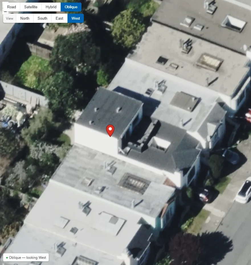
Great data needs a team to build with it
Vexcel works through reseller partners, who license the data. Turning that data into an application or workflow is usually left to you.
Vexcel’s APIs cover imagery, elevation, property data and AI, each with its own authentication, extraction and billing rules. Most teams don’t have time to learn them.
OnTerra licenses Vexcel data and builds with it: map integrations, data pipelines and AI workflows, backed by more than 20 years of mapping development.
A working application or workflow that uses the right Vexcel products, sized and licensed for how your team actually works.
What you can build with
Vexcel’s APIs, map control and AI tools cover the full path from finding imagery to acting on it.
Imagery API
Search coverage, extract ortho and oblique images, build property bundles, query oriented imagery by direction and date, and check coverage across a polygon.
Elevation & surface models
DSM and DTM elevations as GeoTIFFs, ground and building heights, and slope calculated from any point.
Map Control
An embeddable viewer with collection layers, map modes, oblique orientation and a before/after slider for comparing collections over time.
Vexcel Intelligence
AI on the imagery: Embeddings search finds similar imagery by text, image or location; Custom Elements finds objects you define as points, boxes or outlines.
Property & damage
Parcel and structure data with PDF reports, plus post-event damage views and dashboards after storms and other disasters.
3D cities
3D city models loaded over ortho imagery for planning, visualization and line-of-sight work.
Oblique imagery inside the maps you already use
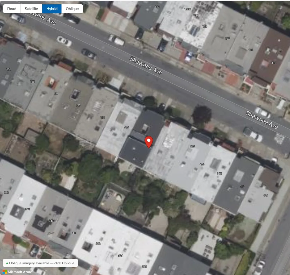
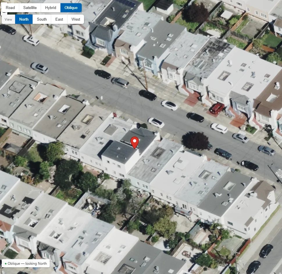
Replacing Bing Maps Bird’s Eye? See the Bird’s Eye replacement solution.
Vexcel consulting & development services
Bird’s Eye replacement
Vexcel oblique imagery added to Azure Maps or HERE applications migrating off Bing Maps.
Custom applications
Web applications built on Vexcel’s API and Map Control, from property viewers to inspection tools.
Integrations & data pipelines
Vexcel imagery and data delivered into Esri ArcGIS, Microsoft Fabric, your GIS or your own systems, with GeoJSON and image exports.
AI workflows
Vexcel Intelligence searches and custom object detection set up for your use case, with results feeding your existing tools.
Account & usage
Account setup, usage monitoring and the right billing model for how you use the data.
Licensing
Vexcel licensing through OnTerra, bundled with the services you need.
Where Vexcel data makes a difference
Roof and structure detail for underwriting, and fast post-event damage views for claims.
Property assessment, permits and planning with current and historical imagery.
Pre-incident planning with building sides, entrances and heights.
Asset inspection, vegetation and line-of-sight work from imagery and elevation.
Property reports, change over time and structure data.
Site context, elevation and 3D models for design and progress.
From discovery to production
Every Vexcel solution depends on your use case and data, so every engagement starts with a conversation.
- 1
Discovery session
Your use case, the systems involved, and the decisions the imagery or data should support.
- 2
Data & coverage review
Which Vexcel products fit, coverage and collection dates for your areas, and the licensing model.
- 3
Solution design
Architecture, integrations and success criteria for a proof of concept.
- 4
Proposal
Scope, deliverables, timeline and cost, with Vexcel licensing included.
- 5
Proof of concept
A working build on your own locations, reviewed with your stakeholders.
- 6
Production & support
Deployment, documentation, monitoring and ongoing support.
Frequently Asked Questions
How is OnTerra different from other Vexcel partners?
Vexcel’s partner network is made up of resellers. OnTerra is a Vexcel reseller that also designs and builds applications, so licensing and development come from one team.
Can we buy Vexcel data through OnTerra?
Yes. We license Vexcel imagery and data products and can bundle them with the consulting and development work.
What is Vexcel Intelligence?
Vexcel’s AI layer on top of its imagery. Embeddings search finds imagery similar to a text description, an example image or a location, and Custom Elements finds objects you define as points, boxes or outlines.
Which platforms can Vexcel data work with?
Web maps built on Azure Maps or HERE, Esri ArcGIS, Microsoft Fabric and your own applications through Vexcel’s APIs. We match the integration to the systems you already use.
Can we see what the APIs do before we commit?
Yes. During discovery we show working builds on your own locations, so you can see the imagery and data before any commitment.
Do you only work with Bing Maps customers?
No. Bird’s Eye replacement is one common starting point, but we work with any organization that wants to use Vexcel imagery and data.
Put Vexcel imagery and data to work
Book a discovery session to talk through your use case and see the platform on your own locations.
Book a Discovery Session