MapSavvy
An Affordable, Easy-to-use Web Map Service

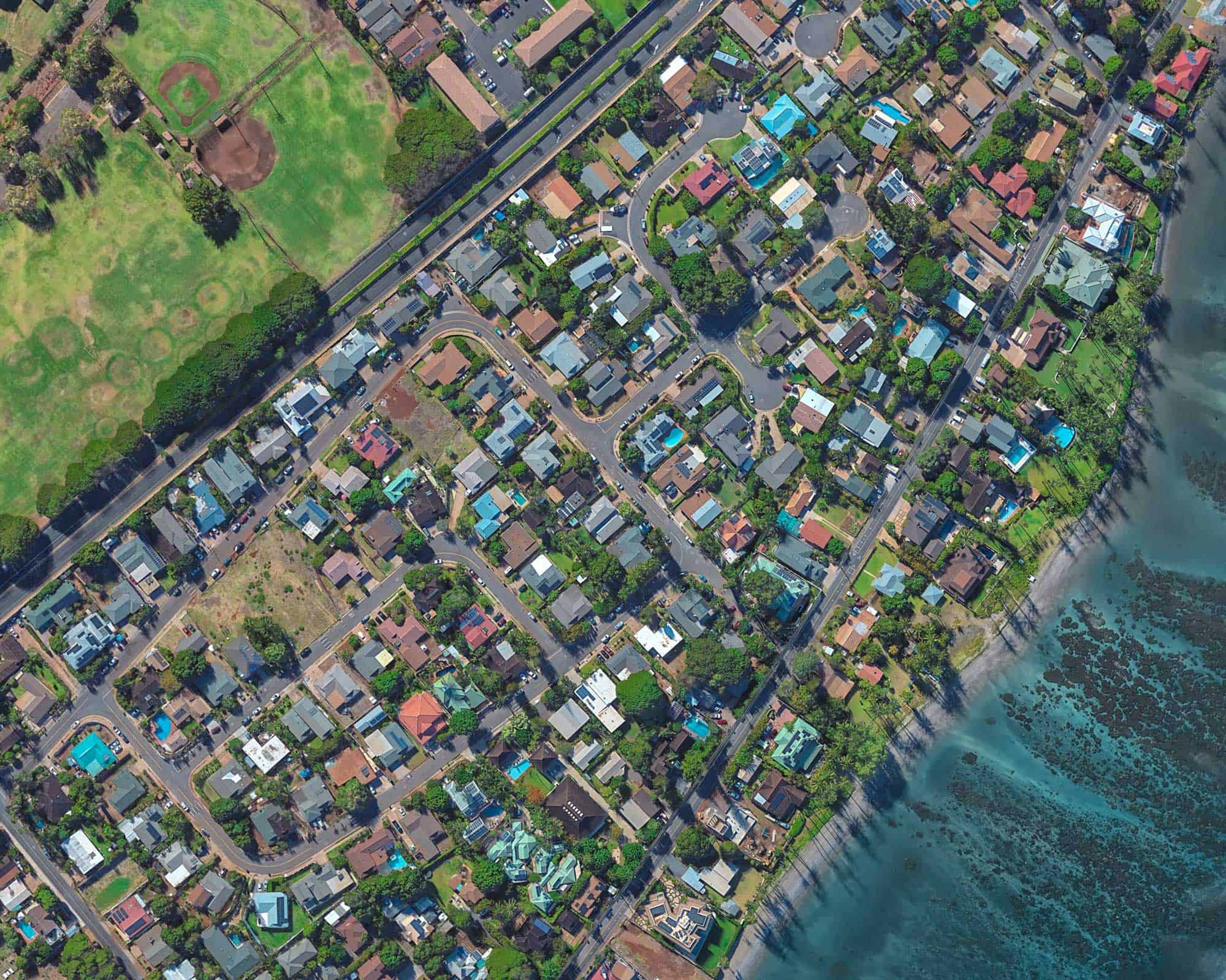
For business, government & research teams, the MapSavvy Web Map Service is one of the most affordable web mapping platforms on the market today. Images accessed through MapSavvy Web Map Service are OGC-compliant, and can be inserted into CAD documents, presentations, MS-Word documents, research documents, and more.
DID YOU KNOW:
MapSavvy is one of the most affordable web map services on the market today and is available in 2 options: Bing Maps WMS or HERE Maps WMS.
MapSavvy Web Map Service Highlights
Affordable
Bing Maps & HERE Maps Options

Images Are OGC-Compliant
Easy To Learn & Use
MapSavvy is ideal for:
GIS & CAD Applications
Research Teams
Government Use
Map Savvy = Multiple Imagery Options
MapSavvy-Bing Maps offers 5 options for web map imagery:
- Original Bing Maps Imagery
- Imagery With Ortho Aerial Imagery Layer
- Imagery With Road Layer
- Hybrid Of Original Bing Maps Imagery
- New Layer
MapSavvy-HERE Maps offers 3 options for web map imagery:
- Here Satellite
- Here Hybrid
- Here Terrain
